Great Smoky Mountain National Park June 22 - 25, 2023
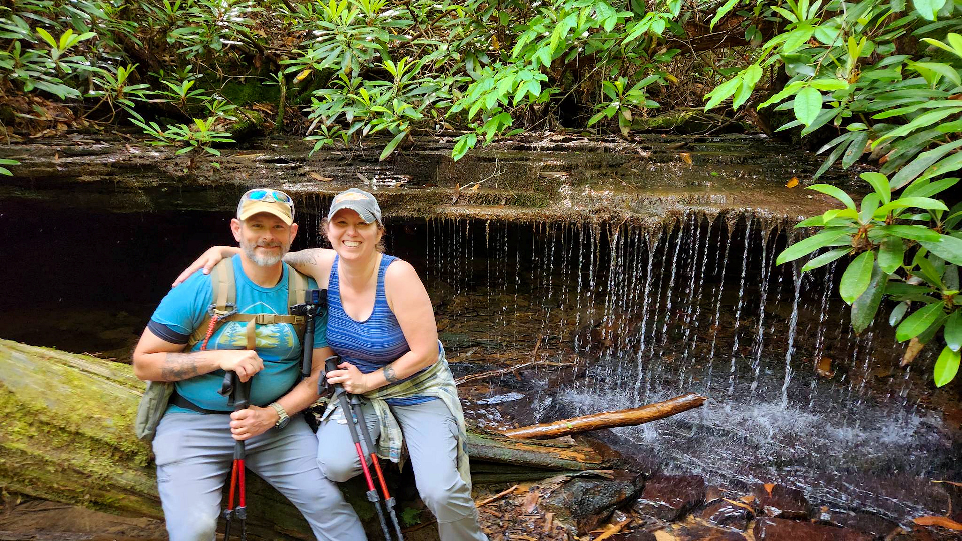
The past two years went by fast, faster than I would like to admit, but it was time again for the bi-annual trip with my buddy Greg. We decided to return once again to the Great Smoky Mountains and make Smokemont our basecamp for a second time. Our adventure this year was a hike up to Gregory’s Bald with an overnight at backcountry site #13 Sheep Pen Gap at 4,640 ft.
Greg and I before I hike up to Gregory Bald
Day 1 – The first day of our trip of course is always travel. Greg drove down from Indy to my house and then we took my Jeep and trailer into the park. We were able to get everything set up and squared away before our traditional rain shower. For those of you who do not know, on about every one of our trips we always get a fair amount of rain and by fair amount it is usually a torrential downpour. We were able to get a fire going and cook a good dinner before calling it a night.
Day 2 – Can not start an adventure off without some coffee and a hearty breakfast. We then packed our bags and headed out on the road to the Twentymile Ranger Station where the trailhead started. Below I listed the route we took for this loop hike.
Our Route:
Twenitymile ...................... 3.1 Miles
Long Hungry Ridge ............ 4.6 Miles
Gregory Bald .................... 1.2 Miles
Wolf Ridge ....................... 6.3 Miles
Twentymile ...................... 0.5 Miles
Area Trail Map GSMNP
I hiked this same route going the opposite direction back in April of 2022 and I will list all the information from that hike in the link section at the end of this blog. The reason for hiking it starting with Long Hungry Ridge is while a longer hike up it is not as steep this direction. In hindsight I might take the greater elevation gain with the shorter distance after slugging all that way up with an overnight pack on.
The morning was rainy and gave way to the sun around 11:00 but by the time we started to reach the top of the mountain a thick fog / haze moved in. By the time we reached Gregory Bald the view was totally obscured in a thick fog however the Flame Azaleas were in full bloom and popped against the grey sky. It really did feel as if we were on a different planet.
After taking it all in for a few minutes we stumbled on into camp and started setting up. We tried to start a fire but I was pretty sure it was not going to take off. Between all the rain, humidity, and mist all the wood was just saturated. We could at least get it started but could not get it to catch so we settled in for a couple of adult beverages and dinner before calling it a night.
My sleep setup for this outing
Day 3 – I was planning to get up with a couple of other guys who camped with us that night and go and try and get a view back a Gregory Bald. When my alarm went off, I stuck my head out from underneath the tarp and saw the mist had turned into a deep fog and some light rain. There was not any sense of getting up for another fogged in view, so I curled up back in my sleeping bag and got some more shuteye.
Finally got up a couple of hours later and got my coffee going. Greg got up around 9:00 am or so and we had breakfast, broke camp, and started back down the mountain. The weather could not make up its mind and fluctuated from mist to rain then sun and back again. The downhill was more pleasant than the uphill and we made pretty good time. Parson’s Bald was really grown over from the last time I was there. We missed the rattlesnake who had made the Parson’s Bald sign his home according to a few other hikers coming up the trail. As we moved lower streams started to reappear and the sounds of running water stayed with us until we got back to the Jeep.
Got back to Smokemont and took a quick dip in the stream and almost went swimming with a couple of snakes. We then had a celebratory steak with a few more adult beverages. Another great trip and Smoky Mountain adventure in the books the next day we packed up and headed home. The mountains never disappoint.
Great Smoky Mountain National Park Saturday June 10, 2023
This was by far the longest day hike I have done to date coming in just over nine-teen miles in under twelve hours. Starting off in the Big Creek parking lot I decided to take Baxter Creek up. It is steeper than the other ways but only about a five-mile climb. My thinking was better to get the climb out of the way and enjoy the longer downhill. It worked out perfectly and I am glad I did it that way as my feet were hurting by the end of this one.
There was quite a bit of a blowdown along Baxter Creek, but nothing was too terribly difficult to get around. The trail is quite pleasant with some larger trees and on this day the green was just popping. The downside to this trail is there are not a lot of places to see a view of the surrounding mountains. Around the five-mile mark as you get to the summit there is one little spot to take in a view and then a weather observing tower next to backcountry campsite No. 38. I took my coffee and lunch break and then hopped back on trail to make my way down.
Once you hit the weather tower the hike for the next couple of miles will be along a ridge line. It will be mostly downhill though some uphill will be mixed in. I love hiking ridgelines because you get some nice airflow over them and in the upper elevations on a balmy day the cool air feels great. As you circle back around most of the downhill will start on Swallow Fork. This trail seemed a little less used than the others I was on as sections of this trail were overgrown in spots. As you descend little creeks and streams start to appear and then turn into bigger ones. This trail felt very peaceful, and I enjoyed hiking it a lot.
After Swallow Fork you hit the junction with Big Creek that takes you back to the parking lot and completes this loop. Big Creek seems a lot more well maintained but is littered with bigger rocks and after a long day that does not help one’s footing. There are several good spots along this trail to just sit and take in the sights and sounds of rushing water. Around the two-to-two-and-a-half-mile mark you hit Mouse Creek Falls. This is a beautiful waterfall just off the trail running down the mountain side. Then another quarter to half mile you have a pretty, little watering hole where I took a break and soaked my hurting feet.
In my video and while I was there, I thought I was at Midnight Hole, but that was not the case. Midnight Hole is a lot bigger and the crowd there was mindboggling. With my feet hurting and the large crowd I did not film anything and just kept moving down the trail. From Midnight Hole to the trail head is a two-mile hike. All said and done AllTrails had me at 19.18 miles.
Another outstanding hike in the books and I cannot wait to explore this area some more and maybe even do a cold weather camp up at the higher elevation. I would recommend this one and as always hike on and stay safe.
Big South Fork National River and Recreation Area Saturday April 27, 2023
This Hike, already one of my favorites, was even better this time around with our Friends. Myself, my wife Mary Ellen and our friends Jessie and Lee Cutshaw hiked, laughed, and powered through this fun and sometimes difficult trail.
Honey Creek Loop is in the Southeast section of Big South Fork National River and Recreation Area on the Tennessee side close to the town of Oneida. The “Loop” varies in length as there is an “add on” section that takes the hiker through a creek bed that will extend the length of the hike but adds adventure. My AllTrails navigation put us at 6.4 miles with the extension. There is not much elevation gain at one time, but there are a lot of ups and downs. One will be hiking through creek beds, squeezing through rock holes, scrambling over rocks, short repels, crawling, and all kinds of fun stuff.
About halfway through one can climb a series of ladders to get to an overlook of the Cumberland River. You can actually drive to this overlook by why would you if you can hike there? After a short break we pushed on to the fun section of trail through a creek bed and over rocks. Here the creek runs through a rock outcropping and on and right after a rainy day you can see a small waterfall from inside the outcropping. It was just a trickle on this hike. You can also hop off the trail and follow the creek upstream for another beautiful little waterfall.
After some more creek fun the hike turns back to the forest until you hit a sandstone section that gives one a feeling of being on a deserted beach island. Some of the sandstone has turned into sand and there are openings in the tree line that let sunshine come through. The trail again turns back to the forest and there is one last rope “repel” that leads to the final section of the hike. It always feels that this last little section goes on forever and I tend to think it is because there are no more natural obstacles hitting you one right after the other anymore.
This is truly a fantastic hike that I would recommend. Just remember it will take you longer than a normal hike with all the rock scrambles, obstacles, and scenery so allow yourself plenty of time. As always, my friends, Hike On and stay Safe!