Showing posts with label Big South Fork National River and Recreation Area. Show all posts

Wednesday, June 11, 2025

In Search of the Needles Eye

Big South Fork River & Recreation Area
April 17 – 19, 2025 


Blog Post:

This was a fun one! I think I first saw the Needles Eye feature on an Instagram post but have since seen it in a couple of YouTube videos and knew I needed to see it for myself. I have yet to go backcountry camping up in Big South Fork and thought it would be a good time to get out there. 

After doing a little bit of research I came to realize that there are not any “official trails” to find this feature. The map I have of Big South Fork is the National Geographic topographic map, and even a few of the major trails are not listed, so I turned to my arch enemy AllTrails.  

- Leatherwood Trailhead -

After looking around on AllTrails for a bit I found a horse / hiking loop trail that was labeled as Hurricane Ridge, and it shows the side trail to Needles Eye. I could get to this trail by taking The John Muir Trail towards Honey Creek Loop.  

I decided for this one instead of setting up and tearing down camp each night, I would have a base camp for both nights. This would turn out to be a smart move, as I could just carry my day hiking kit instead of lugging everything with me. I decided to start up at the Leatherwood Trailhead and figured I could find a decent spot along the Cumberland River to set up and have a good water source. I left work on Friday and headed up where I hiked the John Muir trail for about a mile and found a nice sandy beach location to set up camp.  

- View of the Cumberland River from my camp -
There was quite a bit of poison ivy or oak around this spot, so I did have to be a bit careful what I rubbed up against, it was right along the river with a terrific view. I was not going to do anything fancy for dinner / breakfast and just brought freeze dried meals as I decided to keep this one very basic. I am trying to put into practice what I learned on my Slickrock hike by figuring out my goals of the trip and plan accordingly. 

The following morning after a quick breakfast and coffee, I was out on the trail the. taking the John Muir trail south along the Cumberland River is a very nice, easy hike. I love river views and mix in some of Big South Forks rocky features you have a lot to look at. When you get down to the old O&W train bridge you cross it and turn right to keep following the John Muir Trail. The Bridge will give you a great opportunity to view the Cumberland River.  

- The old O&W Railroad Bridge -

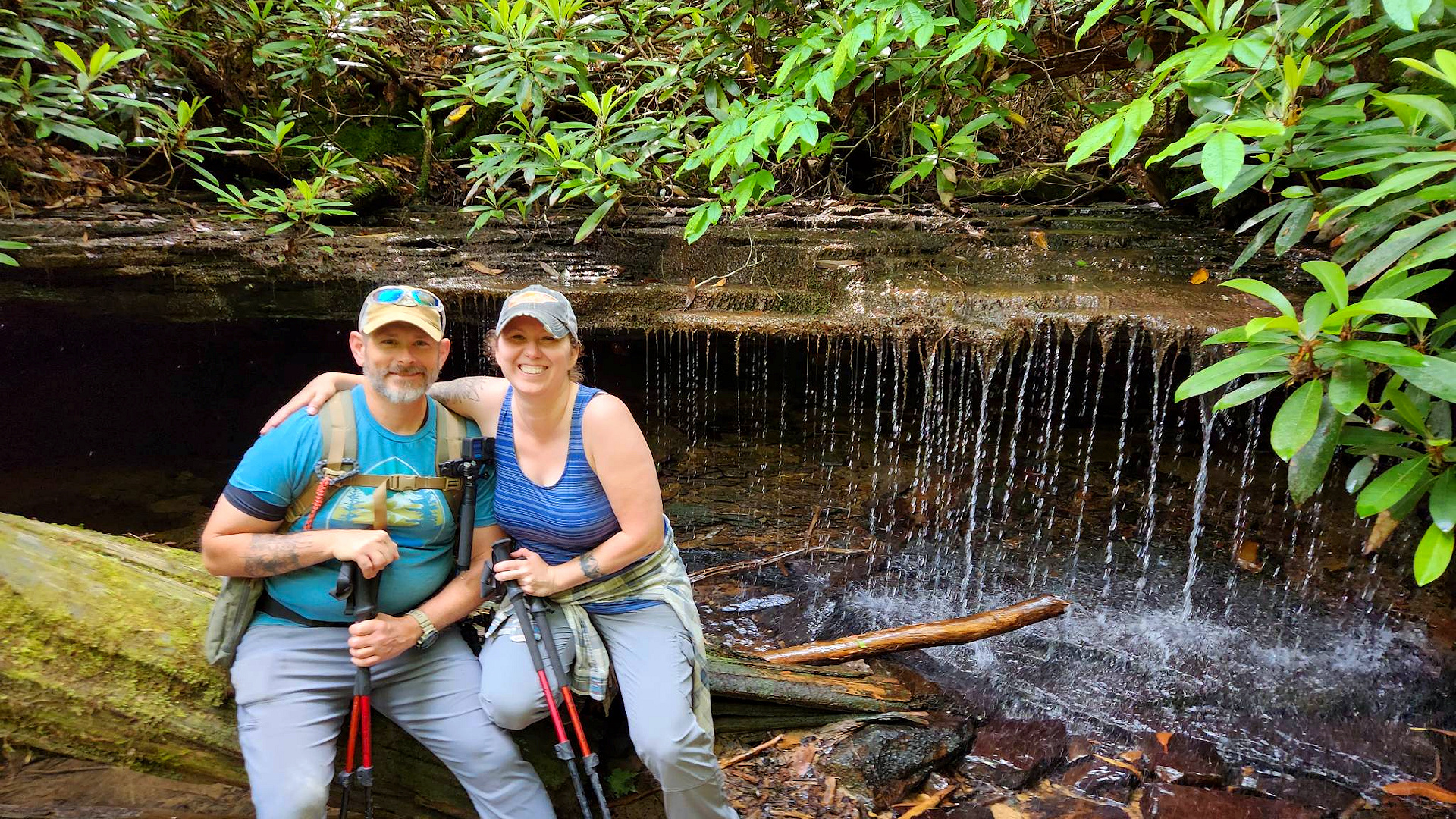
This part of the hike turns very forestry and is the only part that has some major elevation. It does take you past a fantastic little waterfall. Up to this point in the year we have had a lot of rain so the waterfall was full, not sure how it would look during the dryer part of the year.  

- Waterfall along the John Muir Trail -

The trail then swings west and north for a bit, and you get to see another beautiful feature called Devil’s Den. It is a rock outcropping that formed a very shallow cave. I could see how this may have been used in the past for some moonshining, but that is just my guess.  

- Devil's Den -

As the trail swings back into a southernly direction you will come up on a junction. You will want to go right / west here as this is part of the Hurricane Loop trail that I found on AllTrails. This area seems to be a bunch of horse trails stitched together over time and have been given names by locals written on signs. I have not found any good maps of this area but there are several painted and handwritten signs that point you towards Needles Arch.  

Just before you get to the arch there is a little spot with a picnic table and a cable to tie up any horses. To get down to the arch is a very short but narrow hike. Needles Eye is a wonder to see and with my limited writing ability I will never do it justice. When you get to the entrance there is a smaller arch within the larger one. There is a steep ledge once you get inside but they have a ladder so you can climb down and explore. The exit is rather large and leads to the side of the mountain, so you will have to leave the way you came in back up the ladder. 

- Looking up the ladder to the Devil's Den entrance -

After a quick snack packed up and started my hike back to camp. I thought about trying to do the whole Hurricane Loop but figure I would be pushing daylight. I did take a wrong turn at one of the trail junctions that added a half a mile to my total hiked. It was the warmest day of the year so far and while a drank a lot of water when I got back to camp, I was a little dehydrated. Took a dip in the river, had some Gatorade, and started to feel a little better. I then ate dinner, had a small fire and called it a night. 

This was an absolutely amazing trip, and I want to get back up to this area soon as there is more stuff to see. I may see if there are any good places to camp closer so I can cover more ground, but the little bit of the area I did see I don’t think there would be much water in the dry season.  

As always my friends...hike on, and stay safe!  

My Route:


My map recording from AllTrails you can find it by clicking here. The southern most part of the track is where I realized that I made a wrong turn and had to double back. 


Story Pictures:


Story Links: 


Wednesday, July 12, 2023

Hiking & Laughing the Honey Creek Loop

AlexHauck.Com

Big South Fork National River and Recreation Area
Saturday April 27, 2023


This Hike, already one of my favorites, was even better this time around with our Friends. Myself, my wife Mary Ellen and our friends Jessie and Lee Cutshaw hiked, laughed, and powered through this fun and sometimes difficult trail. 

Honey Creek Loop is in the Southeast section of Big South Fork National River and Recreation Area on the Tennessee side close to the town of Oneida. The “Loop” varies in length as there is an “add on” section that takes the hiker through a creek bed that will extend the length of the hike but adds adventure. My AllTrails navigation put us at 6.4 miles with the extension. There is not much elevation gain at one time, but there are a lot of ups and downs. One will be hiking through creek beds, squeezing through rock holes, scrambling over rocks, short repels, crawling, and all kinds of fun stuff.


About halfway through one can climb a series of ladders to get to an overlook of the Cumberland River. You can actually drive to this overlook by why would you if you can hike there? After a short break we pushed on to the fun section of trail through a creek bed and over rocks. Here the creek runs through a rock outcropping and on and right after a rainy day you can see a small waterfall from inside the outcropping. It was just a trickle on this hike. You can also hop off the trail and follow the creek upstream for another beautiful little waterfall. 


After some more creek fun the hike turns back to the forest until you hit a sandstone section that gives one a feeling of being on a deserted beach island. Some of the sandstone has turned into sand and there are openings in the tree line that let sunshine come through. The trail again turns back to the forest and there is one last rope “repel” that leads to the final section of the hike. It always feels that this last little section goes on forever and I tend to think it is because there are no more natural obstacles hitting you one right after the other anymore. 


This is truly a fantastic hike that I would recommend. Just remember it will take you longer than a normal hike with all the rock scrambles, obstacles, and scenery so allow yourself plenty of time. As always, my friends, Hike On and stay Safe! 


Story Links:

Video:


- END -

Saturday, June 17, 2023

Wandering Along the Cumberland & Angel Falls

AlexHauck.Com

Big Southfork National River and Recreation Area
Friday, April 7, 2023

I was lucky enough to get Good Friday off this year, so I decided to spend it in nature. The forecast was calling for rain and I had two different hikes picked out. One was Sterling Mountain via Baxter Creek in the Smoky Mountains and the other one was Angel Falls Overlook in Big South Fork. I chose Angel Falls Overlook as the weather was predicting most of the rain moving east. Like most “weather predictions” it turned out to be wrong and followed me north. It rained on me for most of the day, but at least it did not turn out to be heavy.

US Topo Man of Hike Location

Saw a hike on AllTrails that takes the Angel Falls Overlook Trail then does a little loop before heading back down the Overlook trail. I really did not commit and decided to just follow it loosely and do a bit of wandering. This was nice for a change of pace as l usually always have a set route. This gave me a lot more flexibility and an opportunity to just relax. In the end I did the Angel Falls Overlook there and back then the Angel Falls Trail there and back that ended up being roughly fifteen total miles.

The Angel Falls Overlook Trail starts across the bridge from the trail head and peacefully follows the Cumberland River for a good chunk of the hike. At about the 2.5-mile mark you hit most of the elevation gain that lasts only for around a half mile or so. The bridge across the creek is currently out at the writing of this blog, so you will have to cross the creek to continue on this trail. After crossing the creek, the fun section of the hike begins as there are some stone shelves you hike around with the help of a cable and a ladder.

At this point it started to rain a little harder and there was a rock overhang just off the side of the trail, so I thought it would be a suitable time for a cup of Joe and a sandwich. With it being bone dry under the overhang I took my time and enjoyed my break. The Angel Falls overlook is about a five-minute hike from this point and is also close to the Grand Gap Loop trail junction. I would love to go back and complete the Grand Gap Loop trail as it rounds the whole plateau area.


The Overlook is beautiful and gives a spectacular view of the Cumberland River. The next time I go I need to remember binoculars as I could not make out where the rapid was at. If it were not for the rain this would have been a fine place to take my coffee break. It was here I decided to head back instead of doing the loop section of the hike as I wanted to see Angel Falls since I could not spot it from the overlook.

The Angel Falls hike is an easy 2.5-mile roundtrip that follows the Cumberland River the whole way. There are a few runoffs that create little waterfalls along the way and close to the rapid itself there are some interpretive signs about how to run them. Angel Falls rapid does look intense and it would be fun to watch people run it in real time.

After my trip out to Angel Falls, I took another short break along one of the runoffs and then headed back to the Jeep. This was a wonderful day and made me realize I need to do more of these loose style hikes. I am planning to come back to do the overview hike again and hike the rest of the Grand Gap Loop hopefully on a clearer day.

As always, my friends, Hike On and stay Safe!


 Story Links:

YouTube Video:


Goshen Prong to Miry Ridge Loop

Goshen Prong to Miry Ridge Loop Great Smoky Mountains National Park February 27 – March 1, 2026 ____________________________________________...