Showing posts with label get out site. Show all posts

Wednesday, July 12, 2023

Hiking & Laughing the Honey Creek Loop

AlexHauck.Com

Big South Fork National River and Recreation Area
Saturday April 27, 2023


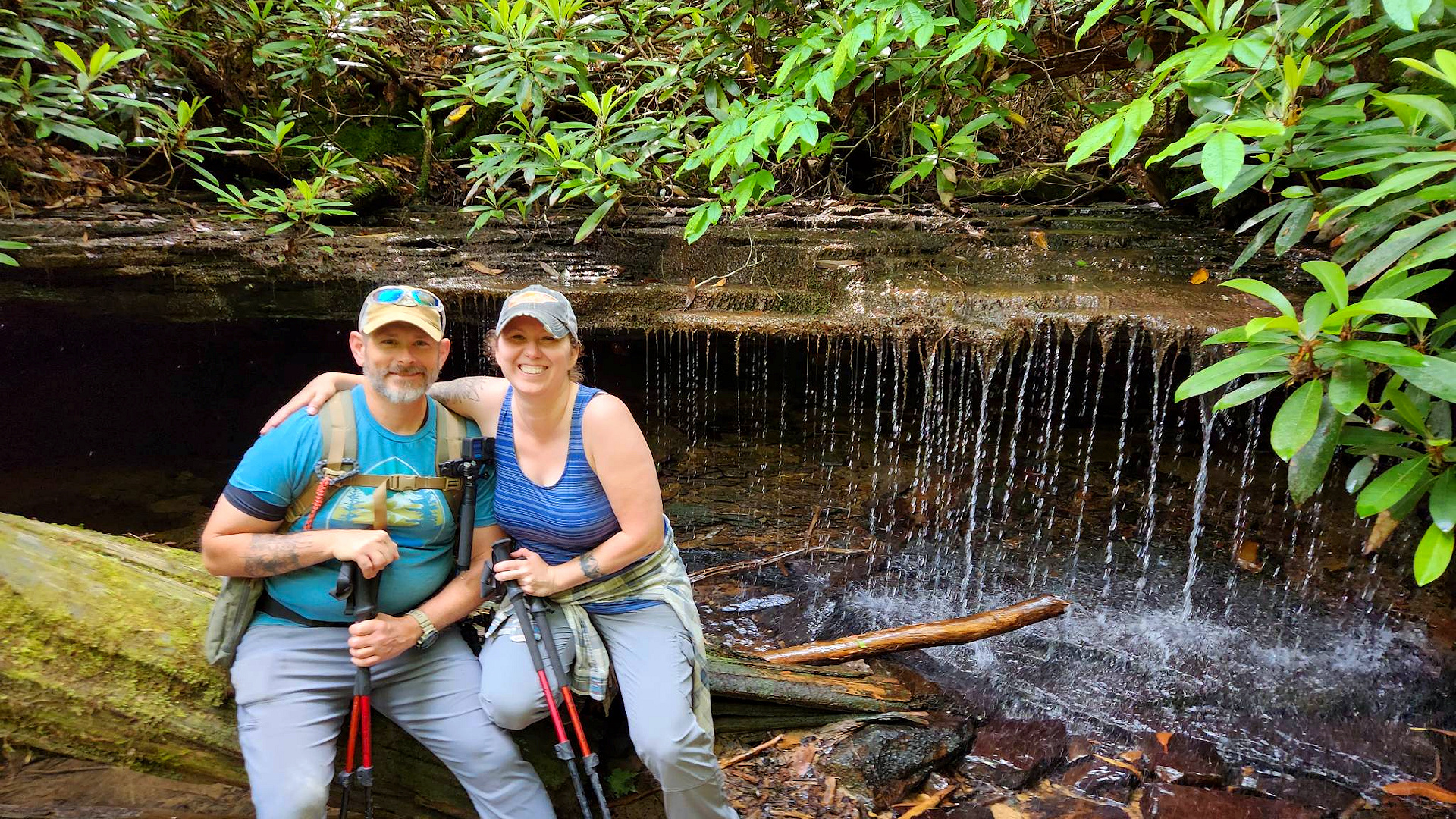
This Hike, already one of my favorites, was even better this time around with our Friends. Myself, my wife Mary Ellen and our friends Jessie and Lee Cutshaw hiked, laughed, and powered through this fun and sometimes difficult trail. 

Honey Creek Loop is in the Southeast section of Big South Fork National River and Recreation Area on the Tennessee side close to the town of Oneida. The “Loop” varies in length as there is an “add on” section that takes the hiker through a creek bed that will extend the length of the hike but adds adventure. My AllTrails navigation put us at 6.4 miles with the extension. There is not much elevation gain at one time, but there are a lot of ups and downs. One will be hiking through creek beds, squeezing through rock holes, scrambling over rocks, short repels, crawling, and all kinds of fun stuff.


About halfway through one can climb a series of ladders to get to an overlook of the Cumberland River. You can actually drive to this overlook by why would you if you can hike there? After a short break we pushed on to the fun section of trail through a creek bed and over rocks. Here the creek runs through a rock outcropping and on and right after a rainy day you can see a small waterfall from inside the outcropping. It was just a trickle on this hike. You can also hop off the trail and follow the creek upstream for another beautiful little waterfall. 


After some more creek fun the hike turns back to the forest until you hit a sandstone section that gives one a feeling of being on a deserted beach island. Some of the sandstone has turned into sand and there are openings in the tree line that let sunshine come through. The trail again turns back to the forest and there is one last rope “repel” that leads to the final section of the hike. It always feels that this last little section goes on forever and I tend to think it is because there are no more natural obstacles hitting you one right after the other anymore. 


This is truly a fantastic hike that I would recommend. Just remember it will take you longer than a normal hike with all the rock scrambles, obstacles, and scenery so allow yourself plenty of time. As always, my friends, Hike On and stay Safe! 


Story Links:

Video:


- END -

Thursday, April 6, 2023

Mill Branch / Crowder Branch Loop Hike

AlexHauck.Com

Cherokee National Forest
Saturday, February 19, 2023

This trail is a doozy. Both Mill Branch and Crowder Branch are steep trails especially after the first little bit coming off Doublecamp Road. I have hiked Mill Branch before as an out and back and knew what I was getting into with that trail, but wanted to extend it this time so I put a loop hike together consisting of the following trails and forest service road… 

FS Trail #96 Mill Branch 

FS Trail #99 Fodderstack 

FS Trail #84 Crowder Branch 

FS Road #2659 Doublecamp  

AllTrails 3D Map of the route I took.
- Click Here For Recording -

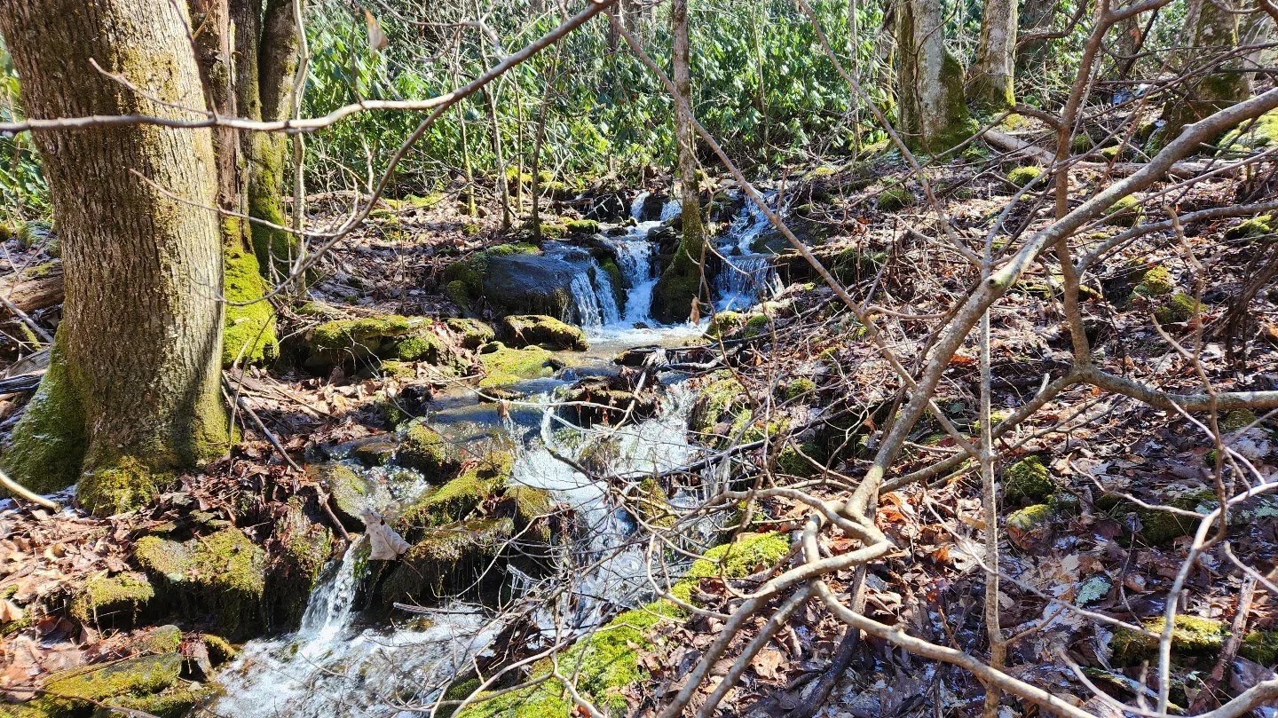
I worked my way up Mill Branch that is a fairly well-defined trail until you get close to the end. It follows Mill Brach about to the top just before you hit the ridge and has several little waterfalls that make a pleasant walk to compensate for the work associated with the elevation. As you close in on the top, with the leaf cover on the ground and general landscape the trail becomes a little difficult to follow. The end of Mill Brach and the junction with Fodderstack, however, is not hard to find and stands out with a group of fallen trees by an aged trail marker.  

Fodderstack is easy to follow and follows a ridgeline. I hiked this one in February with low foliage and plant growth along the trail so I could see this section being overgrown in late spring and summer. Along this section of Fodderstack there was one good spot to get a beautiful view of the surrounding mountains.  

The trail junction with Crowder Branch is a little confusion as it spits into three different trails, but Crowder Branch picks up further down on what is listed as #139 Big Stack Gap Branch. If you turn left here, just a little further down the trail you will hit another junction for #84 Crowder Branch.  

Here there are two really good places to camp. One is at the first trail junction with Big Stack where there is a flat grassy area just along the trail. The downsides to this spot are that it is right on the trail, and you do have to walk a little way to get to the water source. The second spot is just past the second trail junction with Crowder Branch just before you hit the downhill section of this hike. It too is right on the trail, but it is not particularly traveled, and it is right next to a mountain spring for easy access to water. I am planning to do an overnight stay here soon.  

It is here at the second campsite that the trail gets confusing. I actually had to break out the map and compass to get my bearings and still think I missed the actual trail in several places. The area is extremely overgrown and the trail itself does not look well-traveled, so the path becomes unclear. As long as you stay close to Crowder Branch you should not get lost as the stream takes you all the way back to Doublecamp Road.  

I hiked in Crowder Branch for a time until I was able to pick up the trail again. Several sections of the trail are extremely narrow with a downward angle that makes it difficult even before you add the slippery leaves to the mix. I was planning to do a video for this hike but had Frank with me and at this point really had to stop filming to concentrate on not falling or getting lost. I do plan to put a video together when I go back for my overnight.  

It was this very angled section of trail I could not tell for sure if it was the actual trail, but it did look like some kind of footpath. As you get further down the trail becomes more well defined and you end up back at Doublecamp Road. 

To complete the loop, you will need to take Doublecamp road back to the Mill Branch trailhead. This really is not a bad walk, just watch out for traffic as in the summer months this area becomes busy. This was a fun hike with just enough “pucker factor” to keep one on their toes. I would not recommend this one if you do not have any experience with a map and compass. I would also say that in the summer months the trail will be a bit more overgrown with vegetation and it will be more difficult to find the trail. Get outside and hike safely my friends. 


Story Links:

- end -

Thursday, November 10, 2022

Fall 2022 Frozen Head Hike

Frozen Head State Park
October 23, 2022  

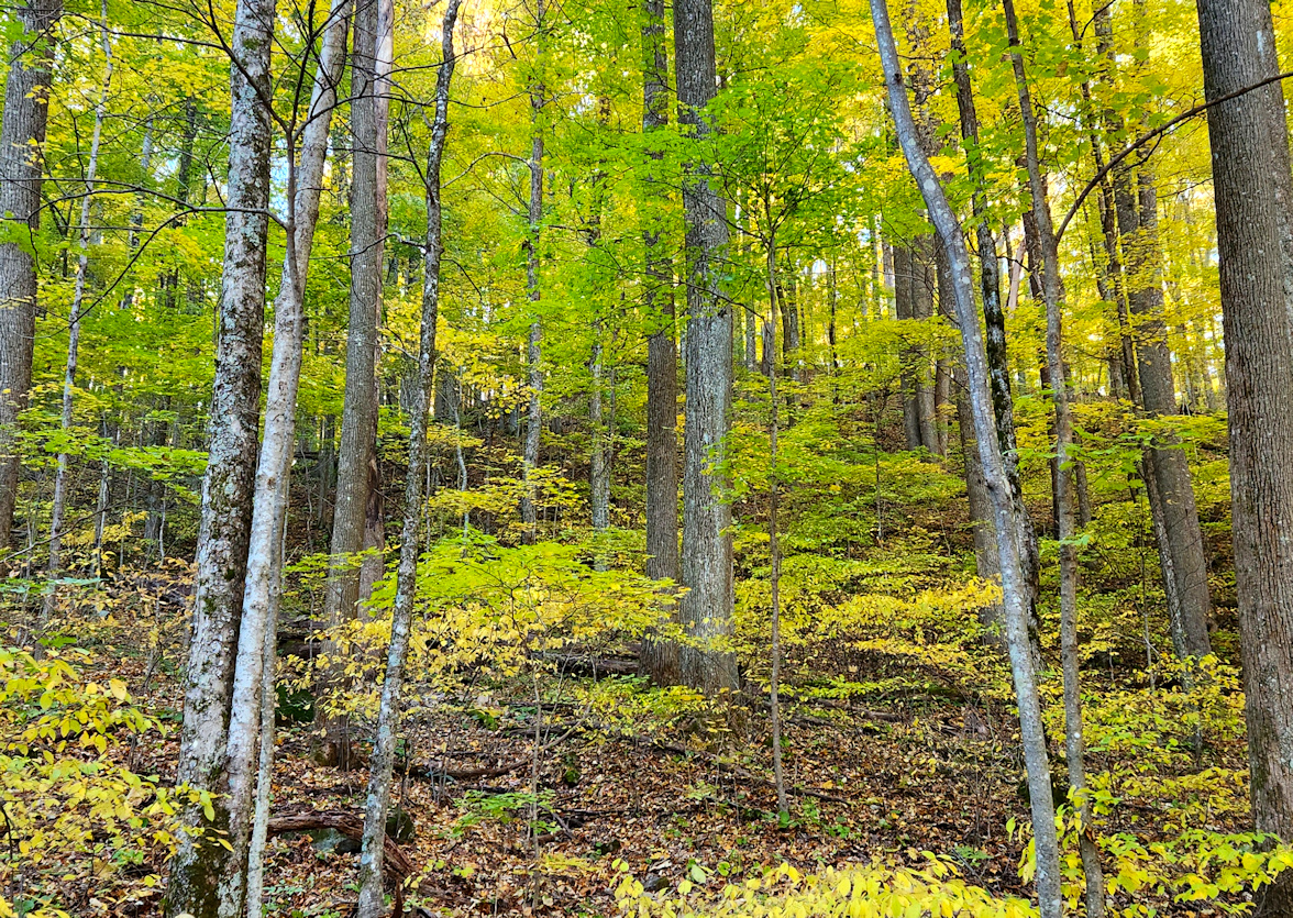
I took Frank up to Frozen Head State Park for a fall hike and not going to lie it was one of the best fall hikes I have been on since moving to East Tennessee. The only one I would rate better was the Rich Mount Loop in the Smoky Mountains around the second year we moved down here. Today the weather was perfect with a slight breeze and crystal, clear blue skies. Since we have been in somewhat of a drought, the colors are not popping quite like usual, but they are still beautiful with most being a golden yellow with a few red ones worked in.  

When hiking in familiar locations I try to find new routes or tweak trails to make it a little different from previous hikes. On this hike I hit a new section of trail to make a loop just over ten miles. Below are the trails I hit to make this loop. 

(1)  North Old Mac …............ 3.55 miles 
(2)  West Lookout Tower …...  6.33 miles 
(3)  Flat Rock Story Book …... 0.45 miles  


The section of West Lookout Tower from North Old Mac to the Bird Mountain junction was a section I have not hit before. That section of the trail is not too bad and is part of an old dirt/gravel road with some pleasant views and nice places to stop and rest or snack. But the section that goes from the Bird Mountain junction to the campground is downhill with big rocks. That combination makes it really rough on the ankles and knees, especially with an overzealous dog like Frank. From the campground you can hit part of the Flat Rock Story Book trail to get back to the main trailhead parking lot.  


I have plans at some point to do the circumference of the park but will need to split that up for a day or two. I need to get out to some of the backcountry spots and scout out the water sources as sometimes water is hard to find in the park. Overall, this was a beautiful day and another great hike for the books. If you have not been out to Frozen Head, I would suggest checking it out at some point.  

 STORY LINKS - 

- PICTURES -


- HIKE VIDEO - 


Meigs Creek & Curry Mountain Loop

Meigs Creek to Curry Mountain Loop Great Smoky Mountains National Park May 2, 2026 Blog: I started this hike off at the Sinks parking lo...